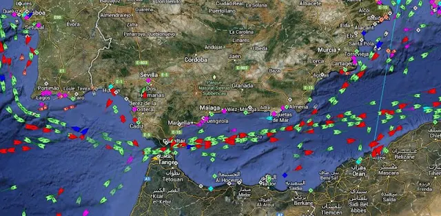
At the kitchen table, I’m sorting out a family trip and trying to work out whether the ferry route will feel like a quiet stretch of water or a busy shipping lane. MarineTraffic gives me a way to look at nearby vessels before we set off: I can check the live map, search a port and see listed arrivals and departures. It’s a useful detour when a harbour view or a crossing is part of the day, not another task I need to manage once everyone is in the car.
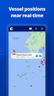
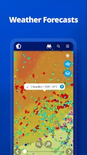
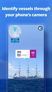
The app shows near-real-time positions for ships and yachts, with vessel search, port information and an animated track playback. I can also see live wind and a 48-hour forecast on the map, browse vessel and harbour photos, and keep a My Fleet list shared across devices and MarineTraffic.com. The Augmented Reality tool identifies vessels around me through the camera view. For a trip planner, that mix can add context to an airport transfer by water or a stop near a marina; it is not a tool for comparing flights, vacation packages or car rental.
I’d treat the map as a helpful picture, not a promise that every vessel is visible at every moment. Coverage relies on AIS receivers, and the app describes satellite tracking for vessels beyond land-based receiver range as an Access Plus 24 in-app purchase. The listing also flags ads and in-app purchases; nautical charts, advanced weather and density maps, and satellite AIS are for paying subscribers. Camera access makes sense for Augmented Reality, while location can help with nearby vessels, so I’d review Android’s permission prompts and allow only what I plan to use.
MarineTraffic suits ship enthusiasts, people planning a port visit and anyone who likes following a particular vessel. I’d skip it if I only need a dependable departure time for a journey or a straightforward travel booking; confirm travel details with the operator instead. If a harbour map is the sort of extra context you’ll enjoy, check the Google Play button just below.
 CompareMarineTraffic